Geological mapping rally in the Negev
The "Geological Mapping Rally" competition was held for the second year in a row. The competition is initiated by the Israel Geological Society and the Geological Survey of Israel and led by Yoav Avni and Gidi Bar. Its purpose is to bring together teams of students and geologists from research institutions in the country and from private companies engaged in earth sciences and the environment for experiential competition in the field of field geology. The rally takes place in the form of field missions, which aim to increase awareness and the importance of learning the basic skill of geological mapping as a central and important part of any geologist's training path, through experiential competition between mapping teams.
Method:
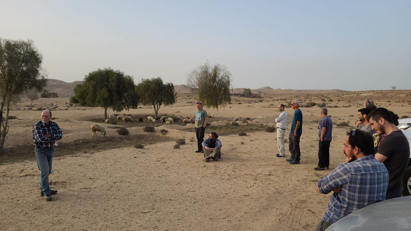
Each institution or group that participated in the competition put a team of maps that put 3-4 people on their vehicle and equipment in a way that allows them to stay and field activity for 48 consecutive hours. The teams convened at a pre-arranged meeting point and set out together for two days of field missions with an emphasis on geological mapping and solving structural and geomorphological problems. The mapping tasks were given to the teams in the field, only a short time before the actual execution. The competition between the teams was based on the quality of the work according to the time allotted to each and every task.
And
And
Event achievements:
Experiential experience in field geological mapping with an emphasis on challenging areas.
Reference to regional and local stratigraphy and regional and tectonics.
Addressing geomorphological problems integrated into the geological structure as they appear in the field.
Promoting the skill of using basic geological mapping aids - maps, orthophoto photographs, Brenton measurements, rock defining and the like.
Promoting an understanding of the importance of field geology in the training of researchers in the field of earth sciences.
Holding an experiential meeting between the young teams from the various institutions and between them and the veterans of the geological mapping.
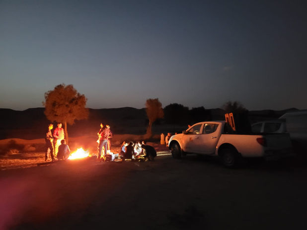
This year (2021), a "Rally Maps in the Negev" competition was held in the Negev Mountains in the vicinity of the areas where the Geological Society Conference will be held in Yeruham. The meeting point was at the gas station at Mashavim Junction on the evening of the first day of the March 9 meeting. From there we went out to the accommodation point in Nahal Boker.
On the first task day, we concentrated on the watershed area between Nahal Boker and Nahal Beer Chayil, where a complex stratigraphic cross-section was examined, followed by a mapping exercise in areas with multiple mismatches between the cross-sections of Judea and Mount Scopus. In these areas there are many effects of karstic collapse into ancient sinkholes.
The second night passed over us in Nahal Anka south of the Ramon Crater and after that we performed a mapping exercise of ancient and young alluvial units as part of understanding the processes of landscape development. The concluding exercise was in the wind plain area where competing teams were asked to characterize the stratigraphic stratagem and regional tectonic structure.
The whole event ended in the late afternoon of Thursday 11th March and the crews headed north.
The event was attended by four competing teams from Ben-Gurion Universities (2 teams), the Hebrew University and a team of Ben-Gurion University graduates. The event was accompanied by a team of controllers and teachers, Ari Matmon, Itai Habib and Amir Eyal and with the logistical support of Yahel Eshed.
The winning team of the competition will be announced during the Geological Society Conference in Yeruham.


